

A free app that gives people across Canada a simple way to help identify potential aquatic barriers affecting fish passage.
We can’t visit every stream crossing in Canada. But together, we can learn a lot more about them!


Free | No training required
This project is partially supported by financial contributions from Fisheries and Oceans Canada. It is also funded in part by RBC Foundation.
How it works
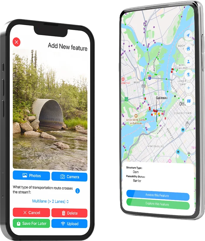
You don’t need to be an expert. CANFISHPASS was designed for everyone to use. Whether you’re out for a walk or hike, paddling or fishing, you can help us identify structures that may be affecting fish passage.
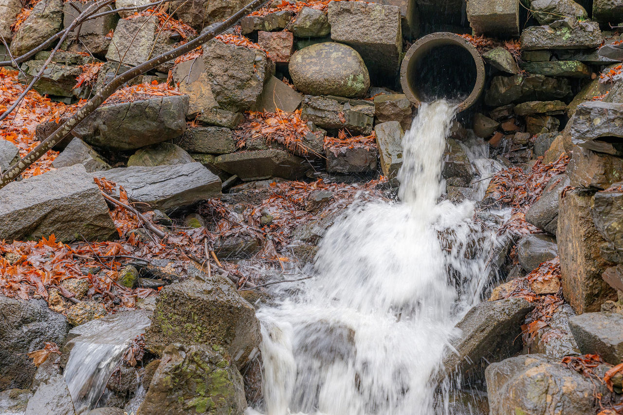
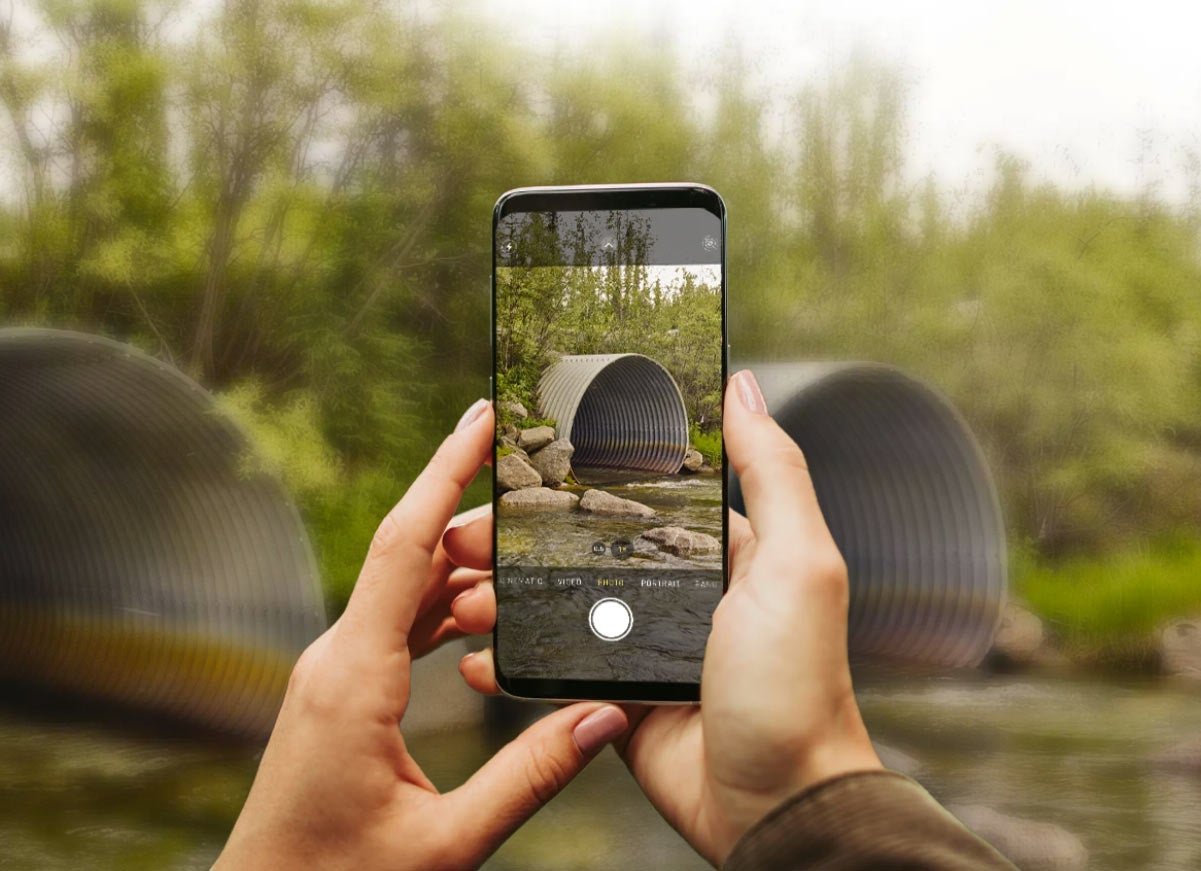
If you come across a culvert, dam, weir or other structure that you think might be blocking fish, simply take a photo, answer a few questions and let the app record its location automatically.
Every observation helps give scientists, conservation organizations and decision-makers a clearer picture of where fish may be having trouble moving through Canada’s waterways and where restoring freshwater connectivity could make the greatest difference.
CANFISHPASS is free and available now for iOS and Android through the Apple App Store and Google Play.
Download it today at and bring it along on your next outdoor adventure.
Please follow best practices while exploring areas where barriers may be, including staying on marked trails and not disturbing habitat.
Help Contribute to the National Record
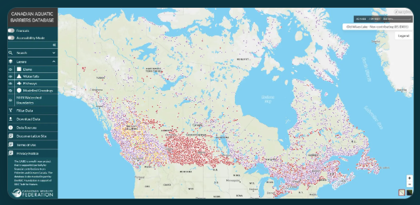
Since 2020, the Canadian Wildlife Federation (CWF) has been building the Canadian Aquatic Barriers Database (CABD), Canada’s only national database of aquatic barriers. As part of this work, CWF mapped 36,000 dams and about 1.5 million stream crossings. We estimate that about 350,000 of those crossings may be blocking fish from reaching critical spawning and rearing habitat. However, we don’t have good information on most of these structures. Confirming a barrier means going to it. And with hundreds of thousands of potential barriers spread across the country, we can’t do this alone. Every submission through CANFISHPASS will be reviewed and integrated into the CABD, making better information available to inform the work of practitioners and decision makers to improve freshwater connectivity in Canada.
Program Lead
Nick Mazany-Wright | Senior Spatial Ecologist
"CANFISHPASS turns every user into a community scientist and empowers Canadians to directly contribute to freshwater connectivity restoration efforts.… Every observation through CANFISHPASS improves our national understanding of freshwater connectivity and helps to ensure practitioners and decision makers have access to the best available information to confidently take meaningful action to replace problematic structures with nature-based designs to increase the resiliency of both infrastructure and ecosystems.”